If you’re planning building work, drain mapping should be an essential part of your plans. This type of commercial drain assessment helps you consider what impact any construction work will have on drainage systems and how to plan proper drainage for the building. This allows architects and builders to produce construction designs that take existing drainage systems into account, saving time and money.
Here’s some insight into the importance of drain mapping for building projects.
What is drain mapping?
Drain mapping is a process that identifies and confirms drain and sewer layouts beneath a property or land in which you intend to build. This may even be a legal requirement for some projects, ensuring your build doesn’t cause problems with the existing system.

What does a drain map show?
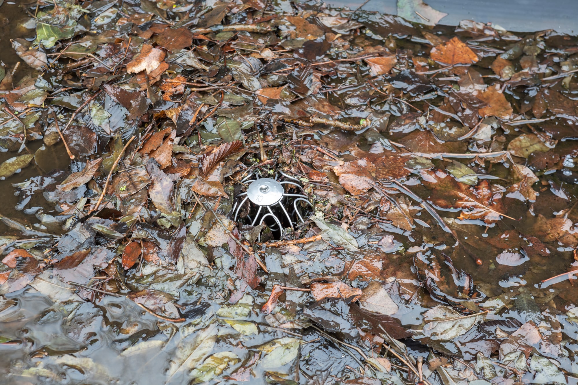
The drain map produced will include aspects such as the size and depth of the system, the direction of water flow and access points, like manhole covers. Without drain mapping, you could encounter problems during your build or be unprepared if future issues arise.
How do you find a drainage map?
Local authorities often hold information on drainage and sewer maps throughout the area. However, if you don’t already have a drain plan for the property, it’s best to get an up-to-date commercial drain survey and CAD mapping completed.
What are the benefits of professional drain mapping?
A professional drain assessment will give you a true reflection of what lies beneath. This allows you to determine the impact of your construction plans, such as the effect on water flow and building foundations. You can also consider how the drainage system will cope with increased use, preventing costly issues further down the line.
How long does it take to map a drain?
How long drain mapping takes will vary from case to case. Factors affecting the length of the drain assessment include the size and complexity of the system, plus any defects found. The drain mapping process can take anywhere between a few days to several weeks to complete.
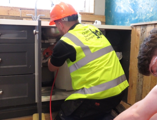
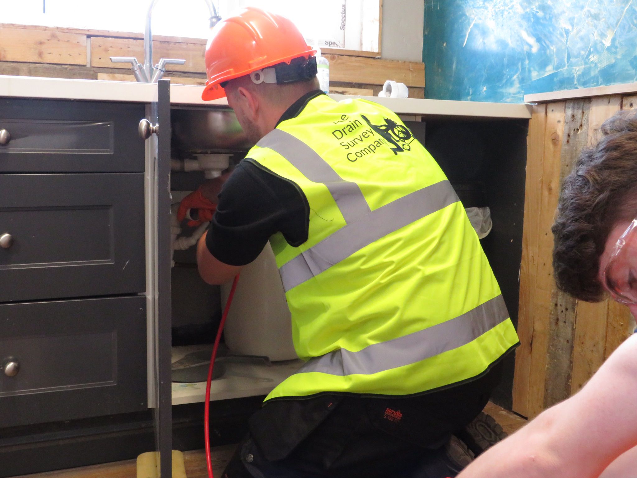
What happens during drain mapping?
Drain mapping involves a site survey, a CCTV inspection, the use of CAD equipment and reporting. The existing drainage system and its various features are located, while pipes are inspected for defects and issues using specialist cameras. The data and information collected will be used to create a detailed drain map, producing a report for the client.
Where can you get a drain survey?
Drain mapping should be carried out before building or construction work begins to ensure issues are identified and resolved, and plans are tailored to the current system. The best place to get an assessment is with a professional drain survey company with dedicated services for CAD mapping at commercial sites.
Request commercial drain mapping – Speak to our team
Do you need commercial CAD drain mapping in London and Essex? If you’d like to request a drain map in Highgate, Belgravia or surrounding areas, get in touch.
For a free drain survey quote, please call now on 020 4538 4399.


